Georeferencing
Georeferencing
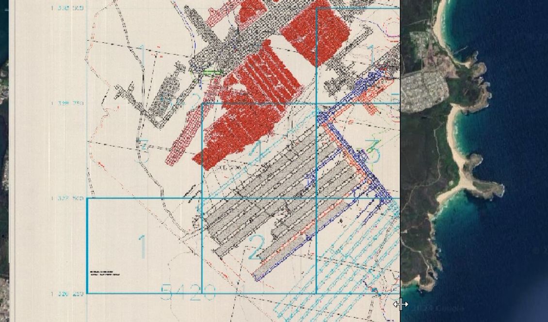
Georeferencing is a fundamental process that is vital for providing spatial context and accuracy to digital representations of physical materials like maps and historical documents. It involves assigning geographic coordinates to these digital files, allowing them to be integrated seamlessly into modern mapping systems and geographic information systems (GIS).
This capability enables users to overlay historical data onto current maps, analyse changes in landscapes over time, and facilitate research across various fields.
Georeferencing enhances the usability and relevance of historical and geographical data. By applying georeferencing techniques to scanned documents, customers can conduct detailed spatial analyses and comparisons, aiding environmental studies and urban planning.
At GMS Digital, we have assisted Heritage organisations in preserving and making accessible cultural artifacts and maps through digital formats that retain their original geographic context. We regularly work with businesses and government agencies so they can utilise georeferenced data to inform strategic decisions in areas such as infrastructure development and resource management, ensuring efficiency and accuracy in their operations.
At GMS Digital we offer
Unparalleled Precision and a Seamless Process
Customised Solutions for Your Needs
The Ability to Preserve Heritage and Enhance Accessibility
Our specialised digitisation services ensure meticulous preservation and archiving of your historical and heritage collections
Contact our team today to experience excellence in Georeferencing Services